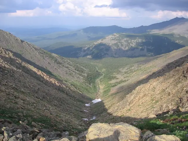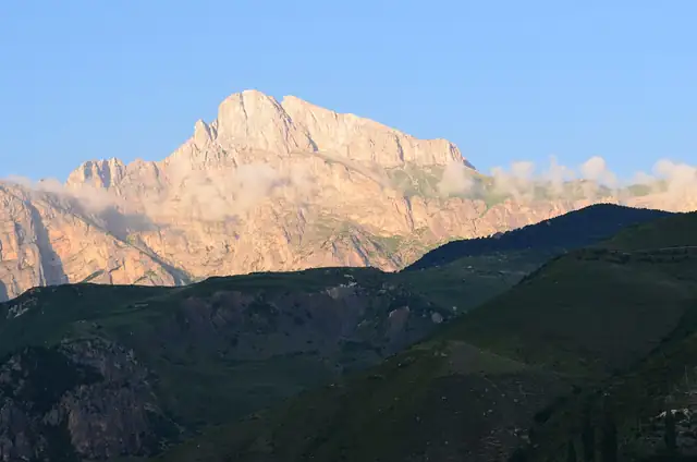
Mountain trail
Caucasian Trail
 Russia · 1,500 km · ≈ 60–75 days
A new long-distance trail of about 1,500 km across the Russian North Caucasus, from Derbent on the Caspian Sea to Sochi on the Black Sea, through eight republics and regions.
Long-distance hiking trails in RussiaThe atlas has 6 trails that cross Russia, from 55 km to 2,218 km. Each comes with its length, days on foot, best months and a link to the official site.
Show them on the mapLoading the map…
Mountain trail
Russia · 1,500 km · ≈ 60–75 days
A new long-distance trail of about 1,500 km across the Russian North Caucasus, from Derbent on the Caspian Sea to Sochi on the Black Sea, through eight republics and regions.
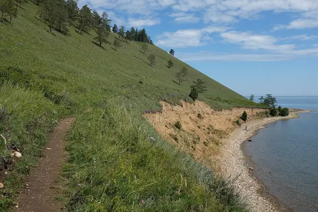
Coastal trail
Russia · 55 km · ≈ 2–3 days
A lakeshore walk of about 55 km on the Great Baikal Trail, from Listvyanka over the hills to Bolshie Koty and on along the cliffs and bays of Lake Baikal to Bolshoye Goloustnoye.
Mountain trail
Russia · 2,218 km · ≈ 89–111 days
An all-season trail system along the Urals, with a walking route of more than 2,300 km through Orenburg Oblast, Bashkortostan, Chelyabinsk and Sverdlovsk oblasts and Perm Krai, from Orsk towards the Dyatlov Pass.
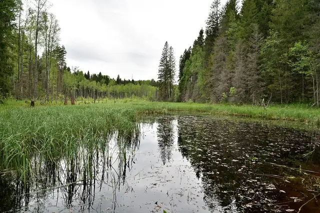
Forest trail
Russia · 77 km · 5–7 days
A 77 km forest trail through Valdai National Park in Novgorod Oblast, walked in five to seven days between seven equipped base camps, past lakes, beaver rivers and a suspension bridge over the Polomet.
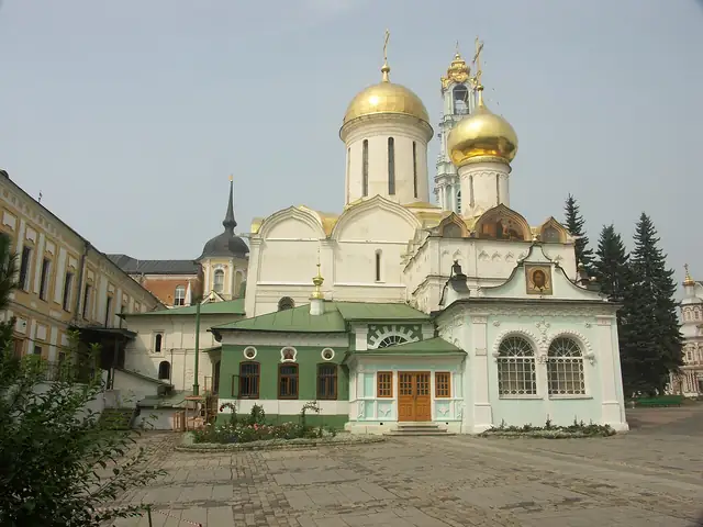
Pilgrim way
Russia · 120 km · ≈ 5–6 days
A 120 km walking road from the Moscow Kremlin to the Trinity Lavra of St Sergius in Sergiev Posad, built by volunteers for pilgrims and hikers, with stamps collected at key points on the way.
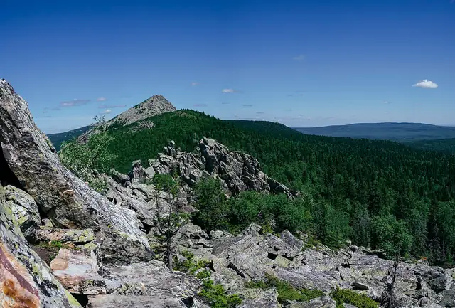
Mountain trail
Russia · 500 km · ≈ 20–25 days
A trail network in the mountains of Bashkortostan and Chelyabinsk Oblast, whose 500 km main branch runs from the Bannoe resort to Lake Turgoyak past the Inzer Zubchatki, Iremel and the Zyuratkul and Taganay national parks.