Photo: Ludger Heide, CC BY-SA 2.0 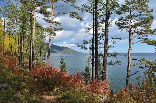
Photo: Veteran hiker, CC BY-SA 4.0 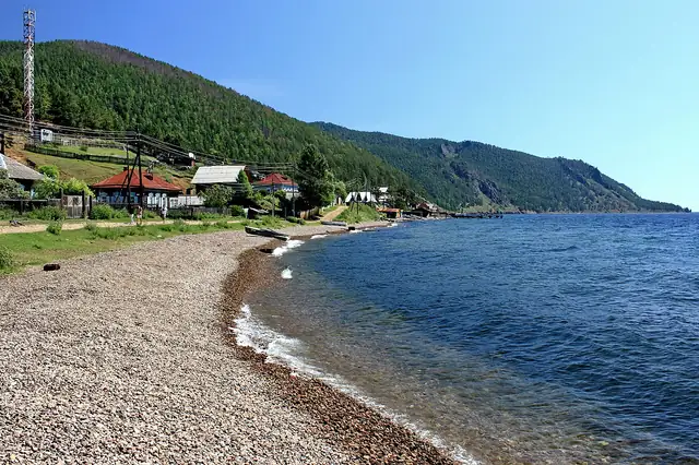
Photo: Marcin Konsek, CC BY-SA 4.0
Great Baikal Trail: Listvyanka to Bolshoye Goloustnoye
Большая Байкальская тропа: Листвянка - Большие Коты - Большое Голоустное
A lakeshore walk of about 55 km on the Great Baikal Trail, from Listvyanka over the hills to Bolshie Koty and on along the cliffs and bays of Lake Baikal to Bolshoye Goloustnoye.
At a glance
- Starts in
- Listvyanka
- Ends in
- Bolshoye Goloustnoye
- Length
- 55 km
- On foot
- ≈ 2–3 days
- Countries
 Russia
About the trail
The Great Baikal Trail Association has built and repaired paths around Lake Baikal for more than two decades, and the shore between Listvyanka and Bolshoye Goloustnoye holds two of its trails. Work on the first, from Listvyanka to Bolshie Koty, began in 2004 as a safer alternative to the dangerous shore path and continued until 2009, with volunteers building bridges over the many streams.
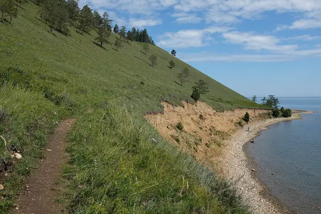
From the end of Gudin Street in Listvyanka the trail climbs steeply for 3.5 km to a summit at 860 m, 404 m above the lake, then follows cliffs and scree above the water for about 24.7 km to the pebble shore of Chernaya Pad near Bolshie Koty. The next stage, about 30 km, passes Cape Skriper, Cape Sobolev and the Chayachy Utyos cliff with its exposed Devil's Bridge, and where the upper path has collapsed walkers drop down to the stony beaches; the last few kilometres to Bolshoye Goloustnoye follow a dirt road.
The association advises allowing at least two days for the second stage and says that since funding ended in 2023 it no longer maintains these paths. The route lies in Pribaikalsky National Park, where visits, camping and campfires need a permit from the park administration in Irkutsk or the forestry offices in Listvyanka and Bolshoye Goloustnoye, and from June to mid-September a boat runs from Irkutsk to Listvyanka and Bolshie Koty.
No source gives the days on foot, so they are worked out from the length at 20–25 km a day.