Historic route
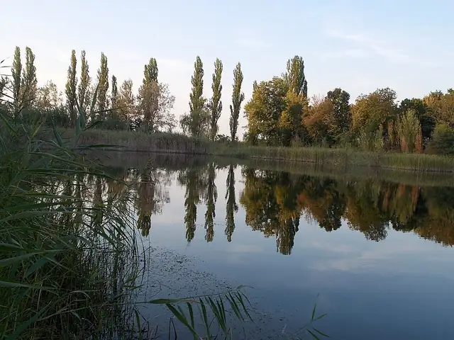
Great Plain Blue Trail
 Hungary · 869 km · ≈ 35–43 days
Hungary's lowland Blue Trail, about 869 km across the Great Plain from Szekszárd near the Danube to Sátoraljaújhely in the Zemplén hills.
Long-distance hiking trails in HungaryThe atlas has 4 trails that cross Hungary, from 542 km to 2,500 km. Each comes with its length, days on foot, best months and a link to the official site.
Show them on the mapLoading the map…
Historic route
Hungary · 869 km · ≈ 35–43 days
Hungary's lowland Blue Trail, about 869 km across the Great Plain from Szekszárd near the Danube to Sátoraljaújhely in the Zemplén hills.
Mountain trail
Hungary · 1,183 km · ≈ 47–59 days
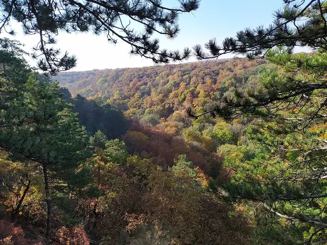
Hungary's best-known long-distance trail, crossing the country's hill ranges from Írott-kő on the Austrian border to Hollóháza in the Zemplén Mountains.
Mountain trail
Hungary · 542 km · ≈ 22–27 days
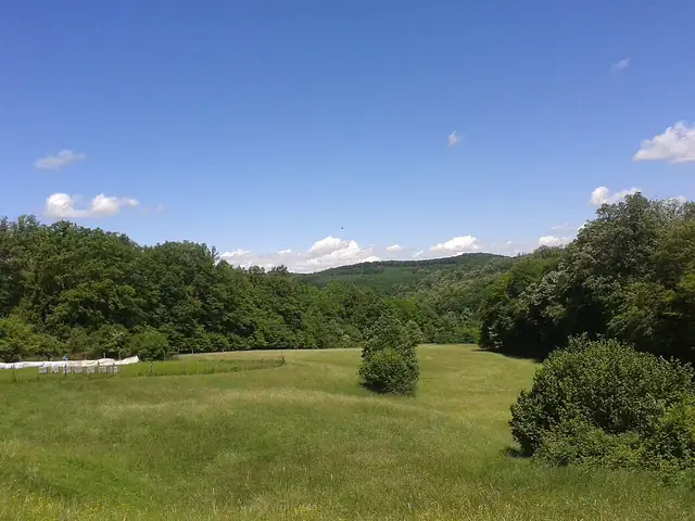
The southern branch of Hungary's Blue Trail system, running 542 km from Írott-kő on the Austrian border through the hills of Transdanubia to Szekszárd.

Historic route
 Austria,
 Slovakia, Hungary,
 Croatia,
 Serbia,
 Bulgaria, and
 Türkiye · 2,500 km · 140–175 days
A cross-border walking route from Vienna to Istanbul that retraces, in the opposite direction, the road of Ottoman campaigns into Central Europe.