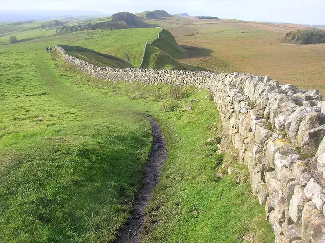

Historic route
Hadrian's Wall Path
United Kingdom · 135 km · 6–7 days
A National Trail along the Roman frontier between Wallsend on the Tyne and Bowness-on-Solway, passing forts, milecastles and the crags of the Whin Sill.
The atlas has 7 trails that cross United Kingdom, from 135 km to 3,200 km. Each comes with its length, days on foot, best months and a link to the official site.
Show them on the mapLoading the map…
Historic route
United Kingdom · 135 km · 6–7 days
A National Trail along the Roman frontier between Wallsend on the Tyne and Bowness-on-Solway, passing forts, milecastles and the crags of the Whin Sill.
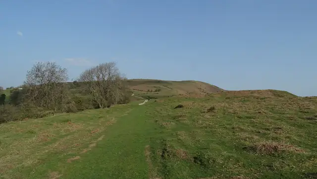
Historic route
United Kingdom · 285 km · ≈ 11–14 days
A National Trail along the England-Wales border that follows the line of an eighth-century earthwork from the Severn estuary near Chepstow to the north coast at Prestatyn.
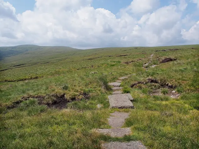
Mountain trail
United Kingdom · 431 km · 6–22 days
England's first National Trail runs along the Pennine hills from Edale in the Peak District to Kirk Yetholm just across the Scottish border.
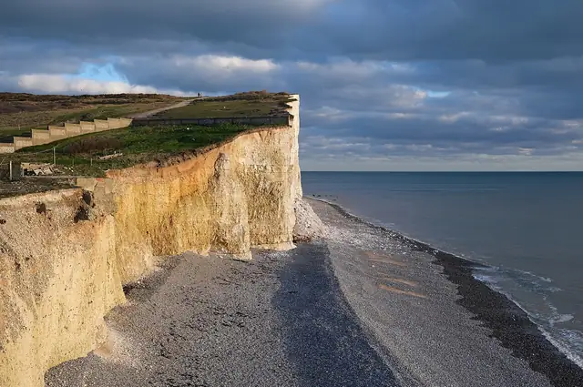
Mountain trail
United Kingdom · 160 km · 8–9 days
A National Trail along the chalk ridge of the South Downs from Winchester to the sea cliffs at Eastbourne.
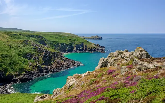
Coastal trail
United Kingdom · 1,014 km · 30–56 days
Britain's longest National Trail follows the south-west English coast from Minehead round Cornwall to Poole, with more than 1,000 km of cliffs, coves and harbours.
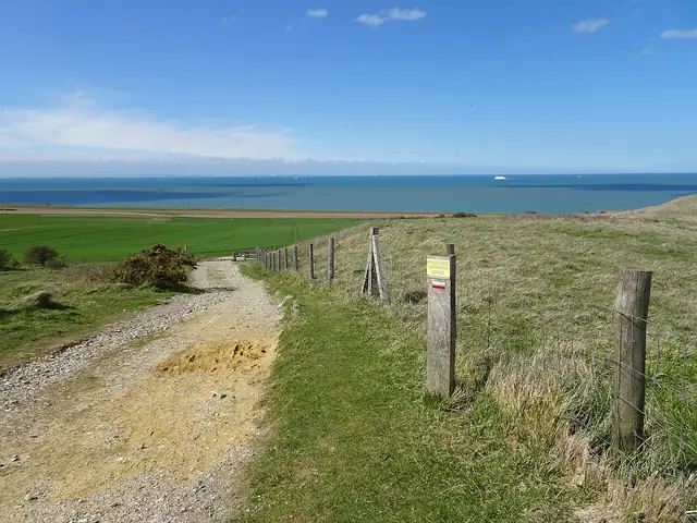
Pilgrim way
United Kingdom, France, Switzerland, and Italy · 3,200 km · ≈ 128–160 days
The long pilgrim road between Canterbury and Rome, extended south to Santa Maria di Leuca in Apulia, follows the journey recorded by Archbishop Sigeric around the year 990.
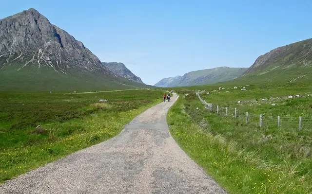
Mountain trail
United Kingdom · 154 km · 6–7 days
Scotland's best-known long-distance footpath links the edge of Glasgow with Fort William, passing Loch Lomond, Rannoch Moor and Glen Coe on the way into the Highlands.


