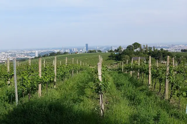
Sultans Trail
A cross-border walking route from Vienna to Istanbul that retraces, in the opposite direction, the road of Ottoman campaigns into Central Europe.
At a glance
- Starts in
- Vienna (Nussdorf, Kahlenberger Straße)
- Ends in
- Istanbul (Süleymaniye)
- Length
- 2,500 km
- On foot
- 140–175 days
 Austria
 Slovakia
 Hungary
 Croatia
 Serbia
 Bulgaria
 Türkiye
About the trail
The Sultans Trail takes its idea from the road Ottoman armies followed towards Vienna in the sixteenth century, and turns it round into a walk from Vienna to Istanbul. Its organisers present it as a path from conquest to cooperation, linking capitals and border towns whose histories were shaped by centuries of Habsburg and Ottoman rivalry.
From Vienna the route follows the Danube to Bratislava and Budapest, crosses the plains of southern Hungary and the Croatian and Serbian borderlands to Belgrade, then turns south-east through the Balkan valleys to Niš, Sofia and the Thracian plain. Beyond Edirne it crosses eastern Thrace to the Bosphorus, so the walk ends among the mosques of old Istanbul.
The Sultans Trail Foundation gives 2,500 km in eight sections and says walking the whole route takes on average 20 to 25 weeks; it can also be cycled in about five weeks. Much of the way follows rural roads, riverbanks and village tracks, with mountain paths in the Balkan and Rhodope sections.