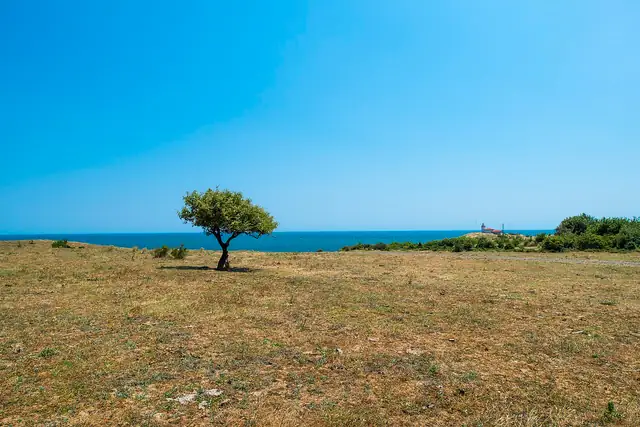
Kom-Emine
Ком-Емине
The classic traverse of the Balkan Mountains, from Kom Peak near the Serbian border to Cape Emine on the Black Sea.
At a glance
- Starts in
- Kom Peak
- Ends in
- Cape Emine
- Length
- 558 km
- On foot
- 20 days
- Countries
 Bulgaria
About the trail
Kom-Emine follows the main ridge of Stara Planina, the Balkan Mountains, across the whole width of Bulgaria. The first complete traverse was made in 1933 by Pavel Deliradev, and the first organised group crossing followed in 1953.
The ridge is mostly open grassland and beech forest, with long views north over the Danube plain and south over the valleys at the foot of the range. The highest point is Botev Peak at 2,376 m in the Central Balkan National Park, after which the mountains slowly lose height towards the east until the trail reaches the sea at Cape Emine. The route is also the Bulgarian section of the European long-distance path E3.
The Bulgarian Tourist Union organises a national group hike every summer, and its programme covers the route in 20 walking days from Kom hut to Cape Emine, sleeping in mountain huts along the ridge. The Union does not publish a total length; other sources put it at around 650 km.
Length measured on the OpenStreetMap line; no official figure checked yet.