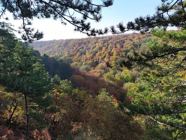
Photo: Antissimo, CC BY-SA 4.0 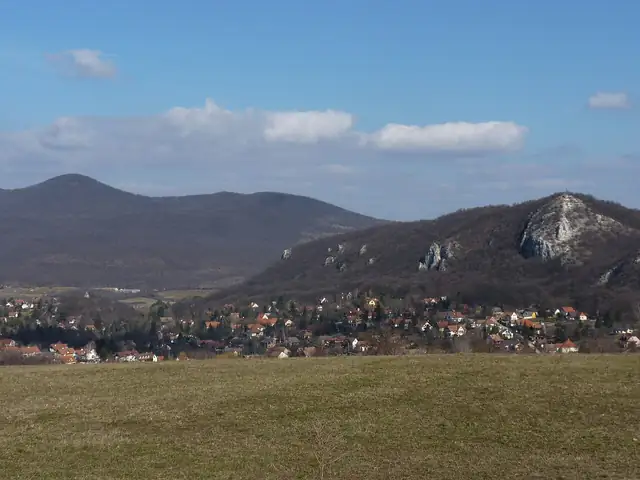
Photo: Antissimo, CC BY-SA 3.0
National Blue Trail
Országos Kéktúra
Hungary's best-known long-distance trail, crossing the country's hill ranges from Írott-kő on the Austrian border to Hollóháza in the Zemplén Mountains.
At a glance
- Starts in
- Írott-kő
- Ends in
- Hollóháza
- Length
- 1,183 km
- On foot
- ≈ 47–59 days
- Countries
 Hungary
About the trail
The National Blue Trail, or OKT, is one of the oldest waymarked long-distance trails in Europe and the backbone of Hungary's hiking network. It runs from Írott-kő in the Kőszeg Mountains, on the Austrian border, to the porcelain village of Hollóháza in the Zemplén, near Slovakia.
Rather than a single range, the trail strings together Hungary's mid-mountains: the Bakony and Vértes, the Gerecse and Pilis, the Danube Bend, the Börzsöny, the Mátra with Kékes, the country's highest summit, and the limestone Bükk. Between the hills it passes through farmland, small towns and wine villages, and the stamping points make it a popular collecting challenge.
The Hungarian Hikers' Association (MTSZ) gives 1,183 km with 161 stamping points and an estimated 348 hours of walking. It does not set a number of days; most people complete the trail in sections over several years. The waymark is a blue stripe on a white background.
No source gives the days on foot, so they are worked out from the length at 20–25 km a day.