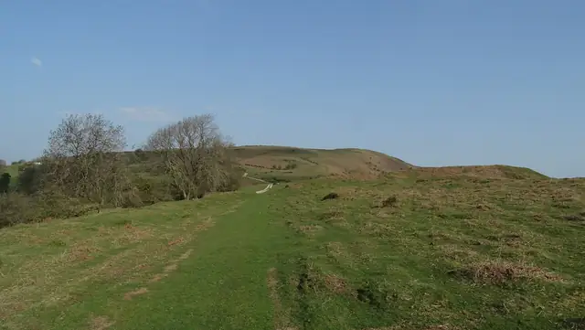

Offa's Dyke Path
A National Trail along the England-Wales border that follows the line of an eighth-century earthwork from the Severn estuary near Chepstow to the north coast at Prestatyn.
At a glance
- Starts in
- Sedbury Cliffs (Chepstow)
- Ends in
- Prestatyn
- Length
- 285 km
- On foot
- ≈ 11–14 days
- Countries
- United Kingdom
- Best months
- April–October
About the trail
The path uses stretches of the dyke attributed to King Offa of Mercia and links the Wye Valley, the Black Mountains, the Shropshire hills and the Clwydian Range. It crosses the border many times, so walkers move between English and Welsh villages almost daily.
The path can be walked all year, though most people go between April and October and take two weeks or more. The official start is a stone marker on Sedbury Cliffs above the Severn, a short walk from Chepstow.
No source gives the days on foot, so they are worked out from the length at 20–25 km a day.