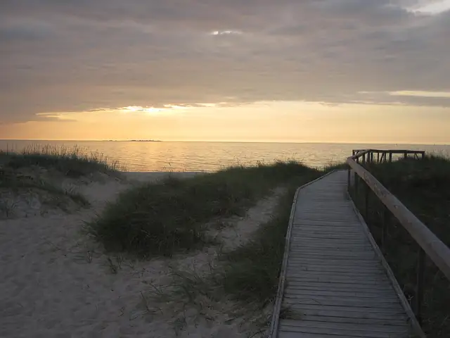
RMK Peraküla-Aegviidu-Ähijärve Hiking Route
Peraküla-Aegviidu-Ähijärve matkatee
RMK's 812 km diagonal across Estonia, from the Nõva coast in the north-west to Ähijärve in Karula National Park near the Latvian border.
At a glance
- Starts in
- Nõva visitor centre, Peraküla
- Ends in
- Ähijärve visitor centre, Karula
- Length
- 812 km
- On foot
- ≈ 32–41 days
- Countries
 Estonia
About the trail
The State Forest Management Centre (RMK) built this route in two steps: the branch from Aegviidu to Ähijärve opened in 2013 and the stretch from Peraküla to Aegviidu in 2015, creating a single trail from the coast of West Estonia to the Estonian-Latvian border. It passes through nine counties and many of the country's protected landscapes.
From the Nõva visitor centre on the north-west coast the trail heads inland through Tuhala-Nabala nature reserve and the heaths of Kõrvemaa, past the Endla bogs and the drumlins of Vooremaa, then crosses the Emajõe-Suursoo wetlands and the Valgesoo and Meenikunno protected areas. Its last sections wind through the lakes and hills of Karula National Park and touch the Latvian border near Paganamaa.
RMK gives a length of 812 km in eleven sections, marked with white-green-white paint and signposts, with campsites, rental huts, forest huts and campfire sites along the way. For 2026 it warns that the Kavastu cable ferry is not running, which adds a detour of about 20 km via the Luunja bridge.
No source gives the days on foot, so they are worked out from the length at 20–25 km a day.