Latgale Lake Trail
Ezertaka
A figure-of-eight hiking route of about 1,070 km through the lake district of Latgale in eastern Latvia, linking more than 130 lakes.
At a glance
- Loop from and back to
- Ludza
- Length
- 1,070 km
- On foot
- ≈ 43–54 days
- Countries
 Latvia
About the trail
Latgale, the easternmost region of Latvia, is a country of low hills and glacial lakes. Ezertaka, presented in 2022 as the newest companion to the national coastal and forest trails, links about 134 lakes and other waters in a figure of eight that crosses near Lake Rāzna. Its northern loop reaches the Balvi area and the Stompaki forests and bogs, while the southern loop runs through Sēlija and the Daugavpils, Augšdaugava and Krāslava areas close to the Lithuanian and Belarusian borders.
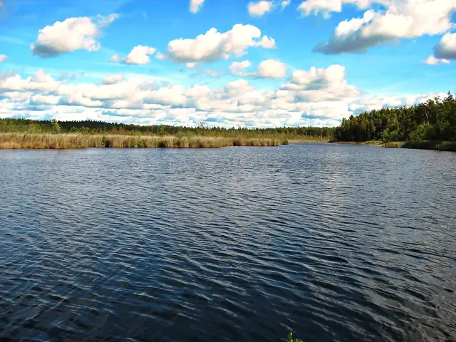
The lakes along the way are varied. Rāzna holds the largest volume of water in Latvia and Lubāns has the largest surface, Ežezers is scattered with islands, and Sventes and Medumi are among the clearest, while Geraņimovas-Ildzas reaches 46 m in depth. Villages such as Malnava, Līksna, Andrupene and Indra lie between them.
The Latgale Tourism Association divides the trail into 49 sections, 13 of them long enough to take several days, and provides GPX files and navigation through mapping apps. About 59% of the route is on gravel roads, 21% on field and forest tracks and 20% on asphalt, and walking near the Belarusian or Russian border requires a border-zone pass applied for in advance through latvija.lv.
No source gives the days on foot, so they are worked out from the length at 20–25 km a day.