
Photo: 攝影 札記, CC BY 2.0 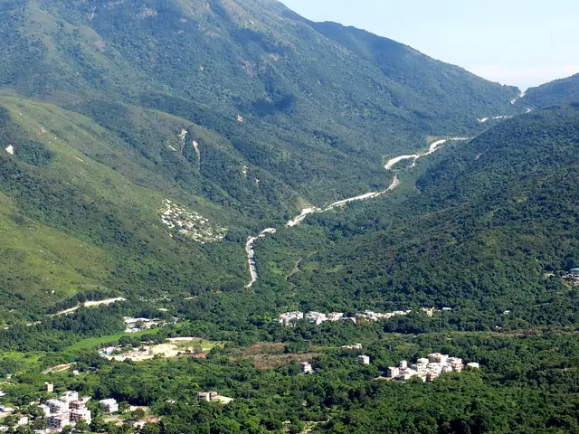
Photo: Mk2010, CC BY-SA 3.0
Lantau Trail
鳳凰徑
A circular trail round Lantau, Hong Kong's largest island, from Mui Wo over Sunset Peak and Lantau Peak and back along the coast.
At a glance
- Loop from and back to
- Mui Wo
- Length
- 70 km
- On foot
- ≈ 3–4 days
- Countries
 Hong Kong
About the trail
The Lantau Trail was opened in 1984 as a long-distance route round Lantau, the largest island in Hong Kong. It starts and ends at Mui Wo, the ferry town on Silvermine Bay, and stays almost entirely within the Lantau North and Lantau South country parks.
The first stages climb straight onto the island's mountain spine, over Sunset Peak and Lantau Peak, at 934 m the second-highest summit in Hong Kong, before dropping to the monastery plateau at Ngong Ping. The trail then turns west to the fishing village of Tai O and the remote south-west tip, and returns along the southern coast past reservoirs and long beaches.
The Agriculture, Fisheries and Conservation Department describes a 70 km circular route divided into twelve stages. There are campsites along the way, and frequent bus links make it easy to walk the stages one at a time.
No source gives the days on foot, so they are worked out from the length at 20–25 km a day.