
MacLehose Trail
麥理浩徑
Hong Kong's longest hiking trail, about 100 km in 10 sections from East Dam in Sai Kung to Tuen Mun.
At a glance
- Starts in
- East Dam, High Island Reservoir
- Ends in
- Tuen Mun
- Length
- 100 km
- On foot
- ≈ 4–5 days
- Countries
- Hong Kong
About the trail
The MacLehose Trail crosses the New Territories through country parks, beaches and mountains, passing the Sai Kung coast, Sha Tin and Tai Mo Shan. It is a government-managed trail and the Oxfam Trailwalker route.
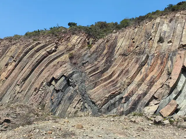
It opened in 1979 and is named after Sir Murray MacLehose, the governor who created Hong Kong's country parks. The eastern sections pass hexagonal volcanic rock columns and some of the territory's best beaches; further west it skirts Ma On Shan and Lion Rock and climbs Tai Mo Shan, at 957 m Hong Kong's highest peak, before descending past reservoirs to Tuen Mun. In the Trailwalker event teams of four try to finish the whole trail within 48 hours.
The trail is split into 10 sections, which can be walked one at a time.
Trails it meets
Nearby trails
No source gives the days on foot, so they are worked out from the length at 20–25 km a day.