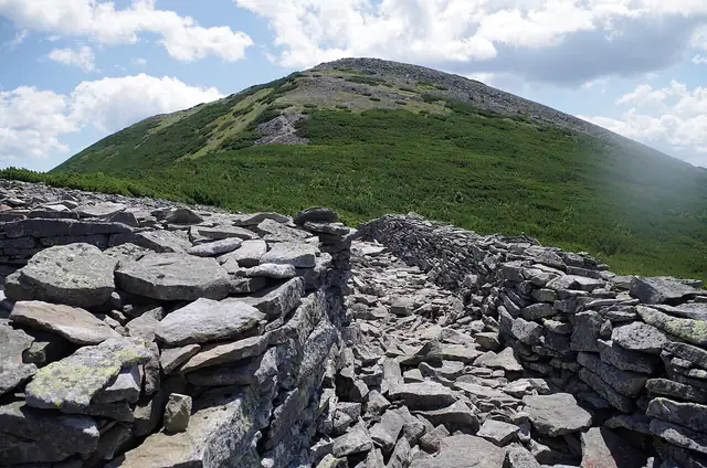
Photo: BirdsEyeLV, CC BY-SA 3.0 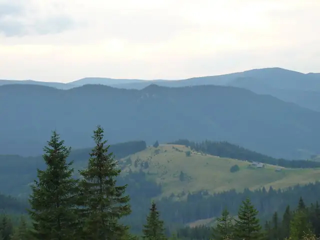
Photo: П.Роксана, CC BY-SA 4.0 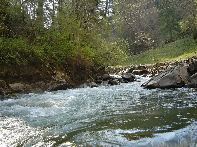
Photo: Mykola Swarnyk, CC BY-SA 3.0
East Carpathian Tourist Trail
Східно-Карпатський туристичний шлях
A red-waymarked trail of almost 280 km through the eastern Ukrainian Carpathians, from Torun Pass across the whole of the Gorgany and over Chornohora and the Hryniavy to Shepit on the Romanian border.
At a glance
- Starts in
- Torun Pass
- Ends in
- Shepit
- Length
- 279 km
- On foot
- ≈ 11–14 days
- Countries
 Ukraine
About the trail
The East Carpathian Tourist Trail runs for almost 280 km from Torun Pass across the whole of the Gorgany, the largest range of the Ukrainian Carpathians, then over the Pokutski mountains, the Kostrycha ridge of Chornohora, the Hryniavy, a short stretch of the Chyvchyny and the Yalovychory. Its final section follows the Suceava river, which forms the border with Romania, down to the village of Shepit.
The Carpathian Paths foundation began waymarking it in 2002 with volunteers from Poland and the Czech Republic, at first only through the Gorgany, and for several years the trail ended at Krasnyk. The sections from Krasnyk to Perkalab and on to Shepit were added in 2014.
Red marks run along the entire route but need constant care. In 2021 the Ukrainian public broadcaster Suspilne reported that the mountain rescuer and volunteer Vasyl Fitsak, working mostly on his own, had renewed 87 km of marking in the Gorgany the previous year and was aiming for 100 km more.
No source gives the days on foot, so they are worked out from the length at 20–25 km a day.