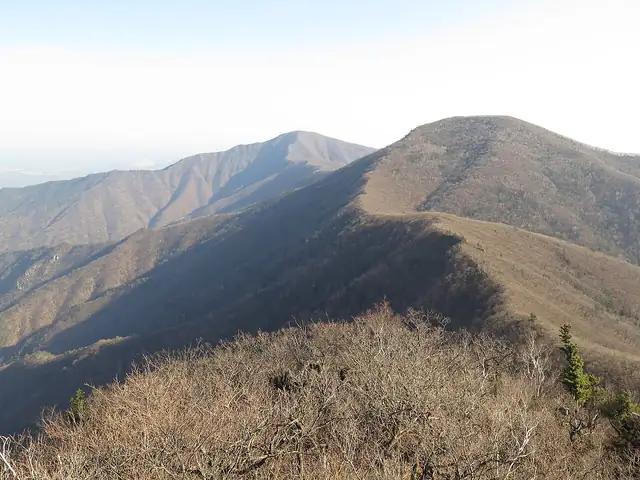
Photo: EZHO, CC BY-SA 4.0 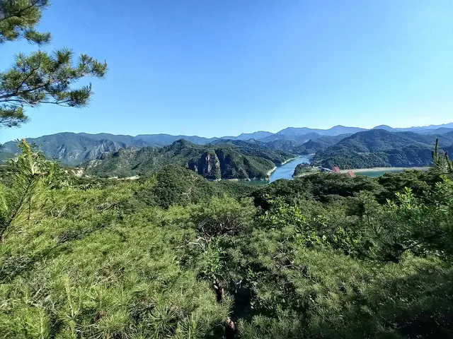
Photo: 류금열, CC0
Baekdudaegan Trail
백두대간
The mountain spine of South Korea, walked for about 670 km along the main ridge from Jirisan in the south to Jinburyeong near Seoraksan.
At a glance
- Starts in
- Cheonwangbong, Jirisan
- Ends in
- Jinburyeong pass, Seoraksan
- Length
- 670 km
- On foot
- ≈ 27–34 days
- Countries
 South Korea
About the trail
The Baekdudaegan is the great ridge that runs the length of the Korean peninsula, from Baekdusan on the Chinese border to Jirisan in the south. In traditional geomancy it is the backbone through which the land's energy flows, and it holds many of the country's most sacred mountains, and the major rivers of the south rise on its slopes. Only the southern part can be walked today, from Jirisan north as far as Jinburyeong in Seoraksan National Park, short of the closed border zone.
Korea's state mountain trekking support agency divides the walkable ridge into seven mountain areas, Jirisan, Deogyusan, Songnisan, Sobaeksan, Taebaeksan, Odaesan and Seoraksan, with 52 courses between them. Most of the walking is on narrow ridge paths over a long chain of peaks and passes, with few settlements on the crest itself.
In 2003 the government passed a law to protect the ridge as the backbone of the peninsula and the treasure house of its ecosystem. The Korea Times put the South Korean section at 670 km when an expedition walked it in 2007, planning on about 70 days at 10 km a day, and the official trekking centre now publishes GPX tracks for every course.
Trails it meets
No source gives the days on foot, so they are worked out from the length at 20–25 km a day.