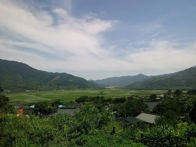
Jirisan Dulle-gil
지리산둘레길
A long loop around Jirisan in southern Korea, linking more than eighty villages in the valleys and foothills of the mountain.
At a glance
- Loop from and back to
- Jucheon, Namwon
- Length
- 300 km
- On foot
- ≈ 12–15 days
- Countries
 South Korea
About the trail
Jirisan was South Korea's first national park, and the Jirisan Dulle-gil, the trail around Jirisan, encircles the whole massif at its foot. Rather than climbing to the ridges, it links more than eighty villages around the mountain, across three provinces and the counties of Namwon, Gurye, Hadong, Sancheong and Hamyang.
The walking is on old village roads, forest paths and passes between valleys, through rice terraces, orchards and, around Hadong, the tea fields for which the area is known. The trail was developed by a non-profit forest trail organisation with government support and fully opened in 2012, giving walkers a way to see rural life that the summit routes bypass.
The Korea Tourism Organization's walking portal describes a loop of about 300 km. It is divided into courses that start and finish in villages, and most people walk it a few courses at a time.
Trails it meets
No source gives the days on foot, so they are worked out from the length at 20–25 km a day.