
Te Araroa
New Zealand's national trail runs about 3,000 km from Cape Reinga in the far north to Bluff at the southern tip.
At a glance
- Starts in
- Cape Reinga
- Ends in
- Stirling Point, Bluff
- Length
- 3,000 km
- On foot
- ≈ 120–150 days
- Countries
- New Zealand
About the trail
The trail crosses beaches, forests, volcanic landscapes and mountain ranges across both islands and uses a mix of tracks, roads and river and sea crossings. Its name means "the long pathway" in Māori, and it opened as a continuous route in 2011, joining existing tracks with new sections built by local trusts and volunteers.
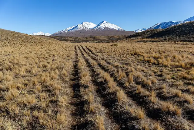
The North Island half starts along Ninety Mile Beach and passes through Auckland and Wellington, with a paddling section on the Whanganui River. The South Island is wilder: long days in the Richmond Range and the Southern Alps, unbridged rivers and remote huts.
A thru-hike takes four to six months, and most walkers start at Cape Reinga in spring, between October and December.
No source gives the days on foot, so they are worked out from the length at 20–25 km a day.