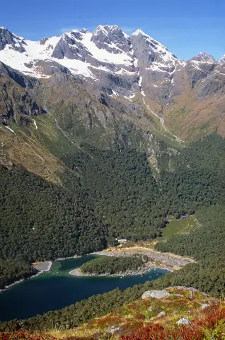

Routeburn Track
A high alpine Great Walk of two to four days between Routeburn Shelter near Glenorchy and The Divide on the Milford road, crossing the Harris Saddle.
At a glance
- Starts in
- Routeburn Shelter
- Ends in
- The Divide
- Length
- 32 km
- On foot
- 2–4 days
- Countries
- New Zealand
- Best months
- November–April
About the trail
The track links Mount Aspiring and Fiordland National Parks, with views of alpine lakes, beech forest and the Hollyford valley. It can be walked in either direction. The highest point is the Harris Saddle at about 1,255 m, and a short side trip to Key Summit near The Divide gives one of the widest views in Fiordland.
As a Great Walk it has a booked season, from 1 November to 30 April.