Main Świętokrzyskie Trail
Główny Szlak Świętokrzyski im. Edmunda Massalskiego
A red-marked 105 km walk across Poland's Świętokrzyskie Mountains, over Łysica and past the boulder fields of the Łysogóry ridge.
At a glance
- Starts in
- Kuźniaki
- Ends in
- Gołoszyce
- Length
- 105 km
- On foot
- ≈ 4–5 days
- Countries
 Poland
About the trail
The Świętokrzyskie Mountains are an old, low range of forested ridges between Kielce and the Vistula in central Poland. The red-marked main trail, named after Edmund Massalski, crosses them from end to end, from Kuźniaki in the west to Gołoszyce in the east.
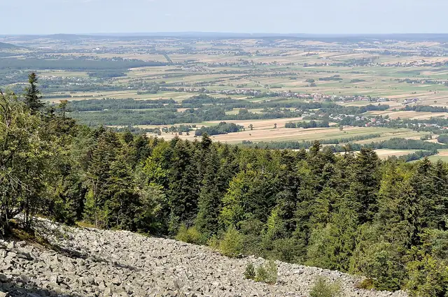
Its best-known stretch runs through Świętokrzyski National Park along the Łysogóry ridge. From the village of Święta Katarzyna it climbs about 2.5 km to Łysica, at 612 m the highest point of the range, then follows the ridge past Agata peak and the gołoborze, open fields of quartzite rubble, to the wooden chapel of St Nicholas. Old glass-making villages such as Huta Szklana, Stara Huta and Nowa Huta lie along the way.
The national park lists the route as the PTTK trail from Kuźniaki to Gołoszyce, 105 km long, of which 18.8 km lie inside the park between Święta Katarzyna and Trzcianka. Entry to that section is subject to a park fee, and the park gives no walking time for the whole route.
No source gives the days on foot, so they are worked out from the length at 20–25 km a day.