Kilimanjaro - Lemosho Route
Lemosho Route
- UNESCO World Heritage
A long western approach to Kilimanjaro that crosses the Shira Plateau and circles below the southern glaciers to Uhuru Peak.
At a glance
- Starts in
- Lemosho Glades trailhead
- Ends in
- Uhuru Peak
- Length
- 43 km
- On foot
- ≈ 2 days
- Countries
 Tanzania
- Best months
- December–February and July–September
About the trail
The Lemosho route approaches Kilimanjaro from the far west, through the Londorossi side of the national park. It is one of the longer ways up, and the gradual gain in height over several days helps the body adjust to altitude.
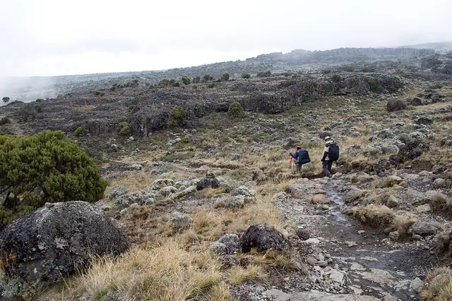
After the rainforest the trail climbs onto the Shira Plateau, the eroded remains of one of the three volcanoes that make up the mountain, and crosses it towards the main cone of Kibo. It then joins the southern circuit below the glaciers before the night climb to the crater rim and Uhuru Peak.
Tanzania National Parks lists Lemosho among the camping routes served by licensed operators, says summit climbs take five to nine days depending on the route, and names the dry seasons from late June to September and from December to early March as the best times. Climbers on camping routes descend by the Mweka Gate.
Length measured on the OpenStreetMap line; no official figure checked yet.
No source gives the days on foot, so they are worked out from the length at 20–25 km a day.