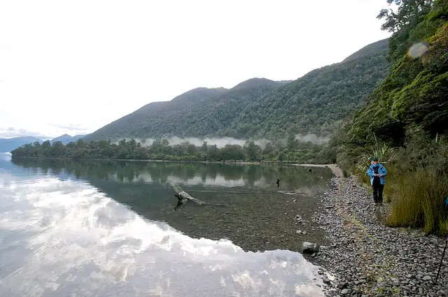
Photo: Brian Ralphs from Berkhamsted, Hertfordshire, UK, CC BY 2.0 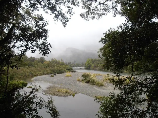
Photo: Sarang, Public domain
Hollyford Track
A low-level tramp through Fiordland from the end of the Lower Hollyford Road past Lake McKerrow to the sea at Martins Bay.
At a glance
- Starts in
- Lower Hollyford Road end
- Ends in
- Martins Bay
- Length
- 53 km
- On foot
- 4–5 days
- Countries
 New Zealand
About the trail
The Hollyford Track follows the Hollyford valley in Fiordland National Park from the mountains to the Tasman Sea at Martins Bay. Settlers once tried to make a home here: the town of Jamestown stood on the shore of Lake McKerrow beyond Hokuri Creek, and the rocky Demon Trail beside the lake began as a cattle track.
With no alpine sections, the route stays in forest and on river flats, passing Hidden Falls and Lake Alabaster, then follows the eastern shore of Lake McKerrow to the coast. At Martins Bay walkers may see fur seals, penguins, herons and sometimes dolphins, and tawaki, Fiordland crested penguins, come close between July and November.
The Department of Conservation describes a walk of four to five days one way from the end of the Lower Hollyford Road, about two hours' drive from Te Anau, with six huts that must be booked. It can be walked all year, but unbridged creeks can become impassable after heavy rain, and walkers either return the same way, arrange transport out of Martins Bay or, if very experienced, take the Pyke-Big Bay Route.