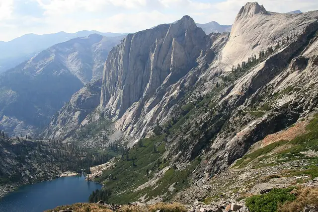
Photo: Jane S. Richardson ( talk · contribs ), CC BY 3.0 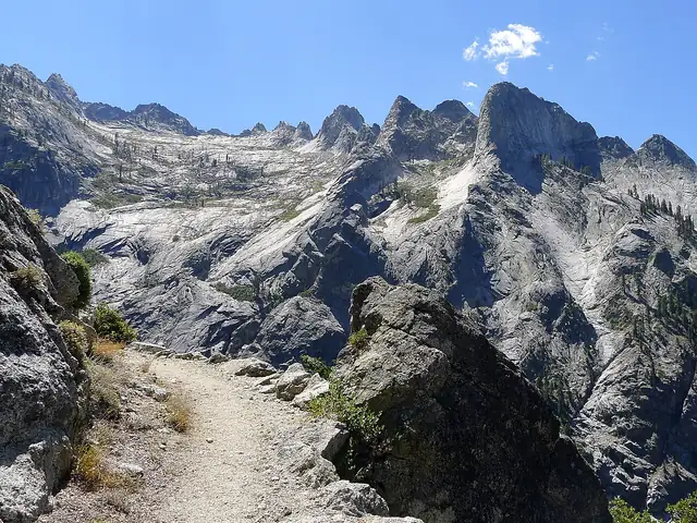
Photo: Mitch Barrie, CC BY-SA 2.0
High Sierra Trail
A 49-mile crossing of Sequoia National Park, from Crescent Meadow in the Giant Forest over the Great Western Divide to the John Muir Trail.
At a glance
- Starts in
- Crescent Meadow, Giant Forest
- Ends in
- Wallace Creek junction, John Muir Trail
- Length
- 79 km
- On foot
- ≈ 3–4 days
- Countries
 United States
About the trail
The High Sierra Trail crosses Sequoia National Park from west to east, from Crescent Meadow on the edge of the Giant Forest to Wallace Creek, where it meets the John Muir Trail below Mount Whitney. Crews were still blasting the route near Alta Peak in 1930, and in 1932 park engineers hung a steel suspension bridge across Hamilton Gorge, which an avalanche destroyed in the winter of 1937.
From the sequoia groves the trail traverses high above the Middle Fork of the Kaweah River to the Hamilton Lakes, climbs to Kaweah Gap at 10,700 feet on the Great Western Divide, and descends past Big Arroyo into the Kern River country on its way to Wallace Creek.
The National Park Service gives 49 miles to the John Muir Trail junction, with Mount Whitney about 13 miles further and Whitney Portal 72.2 miles from the start, and its suggested itinerary reaches the summit of Whitney on the sixth day. A High Sierra Trail wilderness permit is required, and creek crossings can be dangerous early in summer.
No source gives the days on foot, so they are worked out from the length at 20–25 km a day.