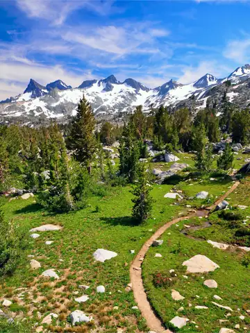

Pacific Crest Trail
A national scenic trail along the mountains of California, Oregon and Washington from the Mexican border at Campo to Manning Park in Canada, about 4,265 km.
At a glance
- Starts in
- Campo, California
- Ends in
- Manning Park, British Columbia
- Length
- 4,265 km
- On foot
- ≈ 171–213 days
- Countries
- United States and Canada
About the trail
The PCT runs through the Sierra Nevada and the Cascade Range, crossing deserts, high passes, snow and volcanic landscapes. It became one of the first two National Scenic Trails in 1968, together with the Appalachian Trail, and was officially completed in 1993. Its length is given by the Pacific Crest Trail Association as 2,650 miles.
Thru-hikes usually take about five months, and snow and fire conditions dominate planning. Most thru-hikers start at the Mexican border in April or May, time their arrival in the High Sierra for June, when the worst of the snow has gone, and need to reach Canada before the autumn snow closes the Cascades.
Trails it meets
No source gives the days on foot, so they are worked out from the length at 20–25 km a day.