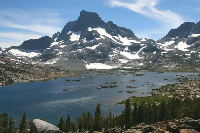

John Muir Trail
A high-altitude Sierra Nevada trail of about 211 miles from Yosemite Valley over passes above 3,500 m to the summit of Mount Whitney.
At a glance
- Starts in
- Happy Isles, Yosemite Valley
- Ends in
- Mount Whitney
- Length
- 340 km
- On foot
- ≈ 14–17 days
- Countries
- United States
About the trail
The John Muir Trail follows the crest of the Sierra Nevada through Yosemite, Kings Canyon and Sequoia National Parks. Every hiker needs a wilderness permit.
For most of its length it shares the path with the Pacific Crest Trail, and it crosses Forester Pass, at about 4,000 m the highest point on the PCT. The trail is named after the naturalist John Muir, who campaigned for the protection of Yosemite. Most hikers go south from Yosemite, need two to three weeks and carry food for long stretches without resupply. Permits for that start are in heavy demand and allocated by lottery.
Trails it meets
No source gives the days on foot, so they are worked out from the length at 20–25 km a day.