GR 10 Pyrenean Traverse
GR 10, la grande traversée des Pyrénées
France's great traverse of the Pyrenees, about 1,100 km from the Atlantic at Hendaye to the Mediterranean at Banyuls-sur-Mer.
At a glance
- Starts in
- Hendaye
- Ends in
- Banyuls-sur-Mer
- Length
- 1,100 km
- On foot
- 30–45 days
- Countries
 France
- Best months
- June–September
About the trail
The GR 10 crosses the whole French side of the Pyrenees, from the Basque coast at Hendaye to Banyuls-sur-Mer on the Mediterranean. Its first sketches were drawn in 1963 in the Aspe and Ossau valleys, the section from Hendaye to La Pierre Saint-Martin followed in 1968, and the whole route was renovated in the mid-1990s together with local authorities.
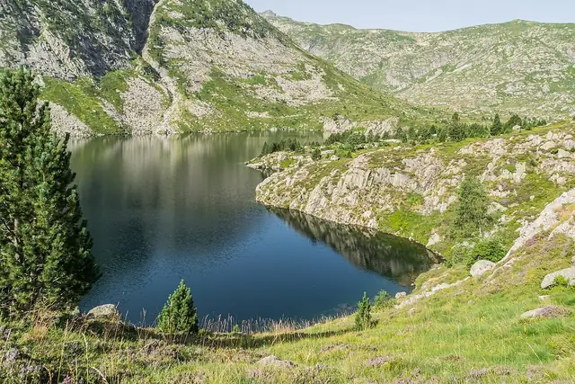
From the Basque hills it passes into Béarn and Bigorre, by the Pic d'Anie and La Pierre Saint-Martin, then through the Pyrenees National Park by Gavarnie, Luz-Saint-Sauveur and Bagnères-de-Luchon. Its high points include the Hourquette d'Arre at 2,465 m and the Fourcat refuge at 2,445 m, and in the east it reaches the Pyrénées-Orientales and the Canigou massif before dropping to the sea.
The French Hiking Federation gives about 1,100 km and a duration of a good month and a half, or a month for fast walkers. Because much of the route lies above 2,000 m, it advises walking it in the fine weather of late spring and summer.