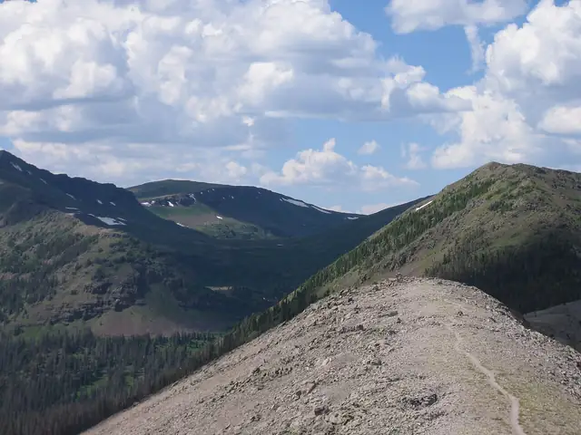
Photo: Charlie DeTar, CC BY-SA 3.0 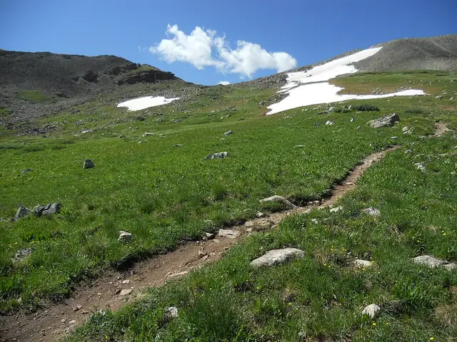
Photo: John Sowell, CC BY-SA 4.0 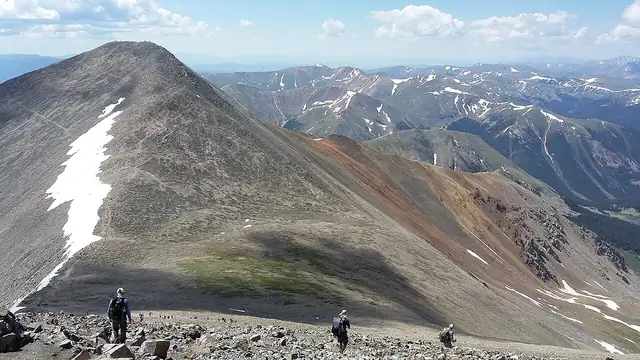
Photo: Xnatedawgx, CC BY-SA 4.0
Continental Divide Trail
Continental Divide National Scenic Trail
A 3,100-mile National Scenic Trail along the Rocky Mountains from the Mexican border in New Mexico to the Canadian border in Glacier National Park, crossing New Mexico, Colorado, Wyoming, Idaho and Montana.
At a glance
- Starts in
- Crazy Cook Monument
- Ends in
- Waterton Lake, Canadian border
- Length
- 4,989 km
- On foot
- ≈ 200–249 days
- Countries
 United States
About the trail
The Continental Divide National Scenic Trail was established by Congress on 10 November 1978 and follows the Rocky Mountains through New Mexico, Colorado, Wyoming, Idaho and Montana. Its southern terminus is the Crazy Cook Monument on the Mexican border in New Mexico, and its northern end lies at Waterton Lake in Glacier National Park, on the border with Canada.
Between the two borders the trail keeps close to the Continental Divide, the watershed between rivers draining to the Pacific and those draining to the Atlantic and the Gulf of Mexico. It passes from desert country in the south to high alpine terrain in Colorado and the northern Rockies.
The Continental Divide Trail Coalition, a national non-profit that builds a community of volunteers for the trail, gives its length as 3,100 miles and says that about 160 miles are still incomplete. According to the Partnership for the National Trails System, the USDA Forest Service is the managing agency, working with the coalition and the Continental Divide Trail Society.
No source gives the days on foot, so they are worked out from the length at 20–25 km a day.