Wonderland Trail
A circuit of about 93 miles around Mount Rainier, crossing ridges and glacier-fed valleys on every side of the volcano.
At a glance
- Loop from and back to
- Longmire
- Length
- 150 km
- On foot
- ≈ 6–8 days
- Countries
 United States
- Best months
- July–September
About the trail
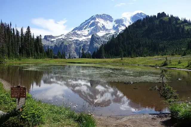
Mount Rainier is a glacier-covered volcano in the Cascade Range of Washington, and the Wonderland Trail makes a complete circuit around it. The path climbs over ridge after ridge between the valleys of its glacier-fed rivers, through old forest and subalpine meadows where snow can lie well into summer.
The total climb and descent are each about 27,000 feet, roughly 8,230 m, and the route passes eighteen wilderness camps and three campgrounds, among them Mowich Lake, White River and Cougar Rock. Longmire is the usual starting point, with the route described clockwise from there, though hikers can also start at Mowich Lake, Sunrise, Box Canyon and other trailheads.
The National Park Service says the trail is usually mostly free of snow from mid-July to October and requires a wilderness permit for every overnight stay, which it strongly advises reserving for the busy summer season. Food and fuel can be left in caches at several points along the way.
Nearby trails
No source gives the days on foot, so they are worked out from the length at 20–25 km a day.