Trans-Tahan Trail
Kuala Tahan - Gunung Tahan - Kuala Juram
A seven-day guided traverse of Taman Negara over Gunung Tahan, the highest peak of Peninsular Malaysia, from the park headquarters at Kuala Tahan to Kuala Juram on the Merapoh side.
At a glance
- Starts in
- Kuala Tahan
- Ends in
- Kuala Juram (Merapoh)
- Length
- 55 km
- On foot
- 7 days
- Countries
 Malaysia
- Best months
- March–August
About the trail
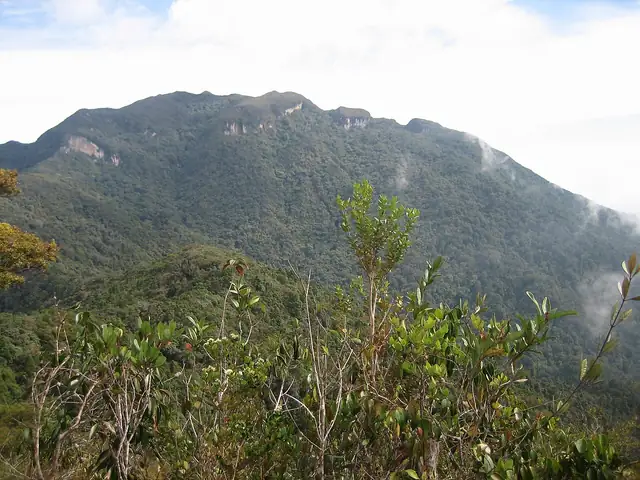
Gunung Tahan, at 2,187 m the highest mountain of Peninsular Malaysia, stands deep inside Taman Negara, and this traverse crosses the park by way of the summit instead of returning the same way. From Kuala Tahan, the park headquarters in the south-east, the trail climbs through lowland and hill rainforest to the summit ridge, then descends north-westwards to Kuala Juram near Merapoh.
The Department of Wildlife and National Parks lists the route from Kuala Tahan over Gunung Tahan to Kuala Juram as a trip of seven days and six nights, and notes that the original trail is longer and harder, with seven river crossings and 27 peaks. Walkers must stay with and in sight of a mountain guide, at RM1,200 for a seven-day hike, and need the park's entry permit; the department recommends going between March and August.
Trails it meets
Length measured on the OpenStreetMap line; no official figure checked yet.