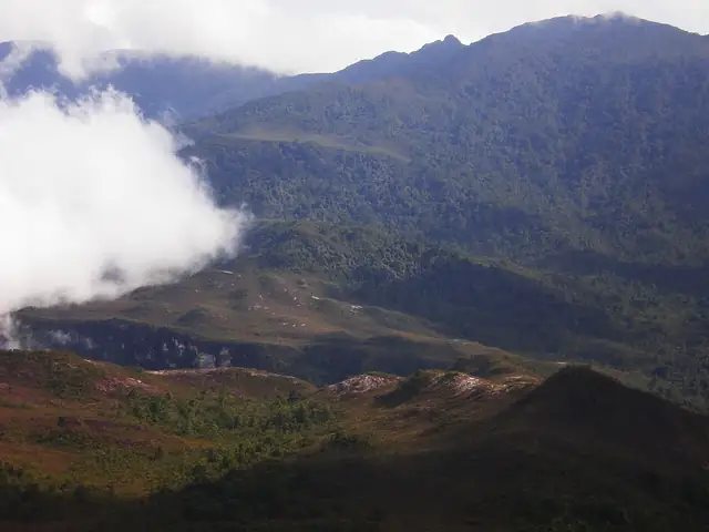
Gunung Tahan Trail from Kuala Tahan
Kuala Tahan - Gunung Tahan
A guided seven-day jungle expedition through Taman Negara from Kuala Tahan to Gunung Tahan, at 2,187 m the highest peak of Peninsular Malaysia.
At a glance
- Starts in
- Kuala Tahan
- Ends in
- Gunung Tahan summit
- Length
- 41 km
- On foot
- 7 days
- Countries
 Malaysia
- Best months
- March–August
About the trail
Taman Negara protects a great expanse of lowland and hill rainforest in the centre of Peninsular Malaysia, and Gunung Tahan rises within it to 2,187 m, the highest point of the peninsula. The classic route to the summit starts at Kuala Tahan, the park headquarters on the river at the forest's edge.
The trail heads into the forest by Melantai and over Gunung Rajah, crosses rivers around Putih and Teku and climbs to Wray's Camp at 898 m. Beyond Pankin it follows a long ridge over Gunung Tangga 15, Gunung Reskit and Gunung Gedung, rising into mossy montane forest before the summit.
The Department of Wildlife and National Parks allows the climb only in the company of a mountain guide, charging RM1,200 for a seven-day hike, and requires an entry permit of RM1 per person. It recommends March to August, and both of its route options take seven days and six nights there and back.
Trails it meets
Length measured on the OpenStreetMap line; no official figure checked yet.