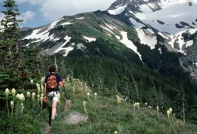
Timberline Trail
Timberline Trail #600
A 40-mile loop around Mount Hood in Oregon at or near the tree line, built in the 1930s and reconnected in 2016.
At a glance
- Loop from and back to
- Timberline Lodge
- Length
- 64 km
- On foot
- 3–4 days
- Countries
 United States
- Best months
- July–October
About the trail
Mount Hood, the highest peak in Oregon, is a glaciated volcano in the Cascade Range, and the Timberline Trail circles it at or near the tree line through the Mount Hood Wilderness. Most of the trail was built by the Civilian Conservation Corps in the 1930s, and the stretch near Timberline Lodge is shared with the Pacific Crest Trail.
Glacier-fed rivers cut across the route, and the Newton, Coe, Muddy Fork, Sandy and White rivers are the hardest fords, safest in the morning before afternoon meltwater rises. In 2006 a debris flow swept away the crossing of Eliot Creek on the north-east side, and the full loop reopened only in 2016 with a 1.5-mile reroute downstream.
The Forest Service describes a loop of about 40 miles that most backpackers complete in three or four days, with a season from July to October. Free self-issued wilderness permits are needed from 15 May to 15 October, the trail is not fully maintained, and some trailheads charge day-use fees.