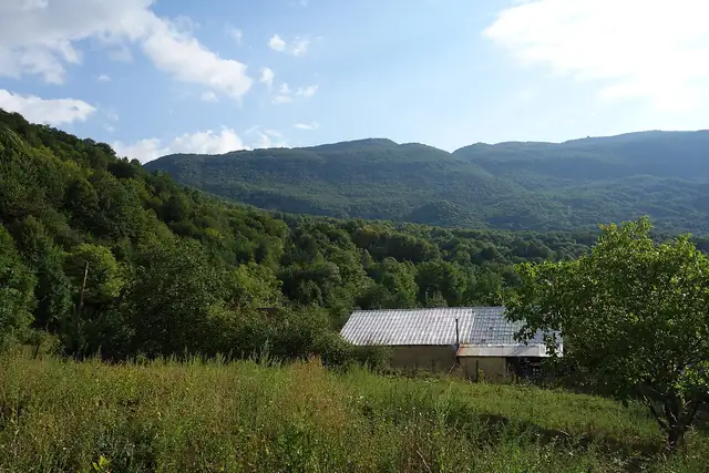
Transcaucasian Trail: Imereti to Racha
TCT: Imereti to Racha
A 74 km section of the Transcaucasian Trail climbing from the farmed valleys of Imereti into the high mountains of Racha in northern Georgia, ending in Oni.
At a glance
- Starts in
- Southern trailhead on the road to Sachkhere
- Ends in
- Oni
- Length
- 74 km
- On foot
- 3–5 days
- Countries
 Georgia
- Best months
- May–October
About the trail
The Transcaucasian Trail is a long-distance route being built across Georgia and Armenia, and this section, developed in 2021 and 2022, links the region of Imereti with Racha in the north of Georgia. It rises from low agricultural valleys through thick forest to pastures and alpine cliffs, with a long exposed ridge traverse and a high point of about 2,300 m, before descending to the town of Oni.
The route is wild. It is not waymarked, several parts are unmaintained, and hikers navigate by GPS track; there is no indoor accommodation on the trail itself, so walkers camp, and the only shop is a basic one in the village of Drbo.
The trail's organisers give 74 km and three to five days and recommend May to October, with wildflowers early in the season and autumn colour later. Springs run well from May to July but many dry up from late July, summer storms bring intense lightning, and gas canisters must be brought from Tbilisi or Mestia. Marshrutkas from Didube station in Tbilisi serve both the southern trailhead and Oni.