Tahoe Rim Trail
A 165-mile loop along the ridges around Lake Tahoe, crossing between California and Nevada through forest, granite and wilderness.
At a glance
- Loop from and back to
- Tahoe City
- Length
- 266 km
- On foot
- ≈ 11–13 days
- Countries
 United States
About the trail
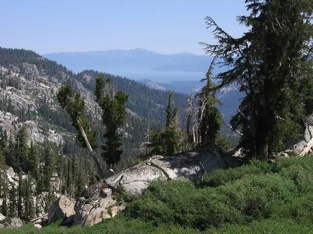
Lake Tahoe lies in a basin high in the Sierra Nevada on the border of California and Nevada, and the Tahoe Rim Trail follows the ridges around it in a complete loop. It climbs through conifer forest and over granite and volcanic summits, with the lake in view for much of the way, and passes through the Desolation Wilderness.
On the western side it shares part of its line with the Pacific Crest Trail, and trailheads such as Tahoe City, Brockway Summit, Kingsbury North and Barker Pass make it easy to walk in sections as well as in one go.
The Tahoe Rim Trail Association, based in Stateline, Nevada, describes a 165-mile thru-hike and recognises those who complete it in its 165 Mile Club. Volunteers give thousands of hours each season to maintaining the trail, and overnight stays in the Desolation Wilderness need a Forest Service permit.
Trails it meets
No source gives the days on foot, so they are worked out from the length at 20–25 km a day.