Seoul Trail
서울둘레길
A 156.5 km loop around the edge of Seoul linking the city's mountains, villages and rivers, divided into 21 courses.
At a glance
- Loop from and back to
- Dobongsan Station (Seoul Changpowon)
- Length
- 157 km
- On foot
- ≈ 6–8 days
- Countries
 South Korea
About the trail
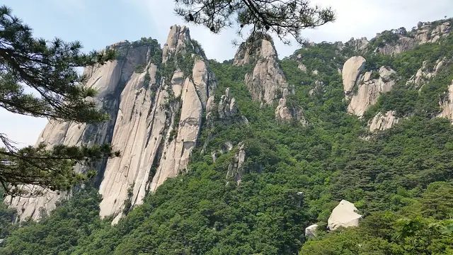
Seoul is ringed by granite mountains, and the Seoul Trail, opened by the Seoul Metropolitan Government on 15 November 2014, follows that ring around the whole city. When it opened it was made up of eight courses, with about 85 km of forest paths, 40 km of village lanes and 32 km of riverside walking.
Among the mountains it crosses are Suraksan and Buramsan in the north-east, Achasan on the eastern edge and Gwanaksan in the south. Every course begins and ends near public transport, so the loop can be walked a section at a time.
In 2024 the trail was divided into 21 shorter courses, 156.5 km in all, and given new signs in English, Chinese and Japanese, according to the Korea JoongAng Daily. Walkers who collect all 28 stamps in the stamp book can claim a completion certificate at the trail's information centres, such as the one at Seoul Changpowon by Dobongsan Station.
No source gives the days on foot, so they are worked out from the length at 20–25 km a day.