Rideau Trail
Founded in 1971 and named after the Rideau Canal, this footpath links Kingston on Lake Ontario with Ottawa, crossing farmland and the rugged Canadian Shield on a main trail of about 325 km marked with orange triangles.
At a glance
- Starts in
- Confederation Park, Kingston
- Ends in
- Ottawa Locks, Ottawa
- Length
- 325 km
- On foot
- ≈ 13–16 days
- Countries
 Canada
About the trail
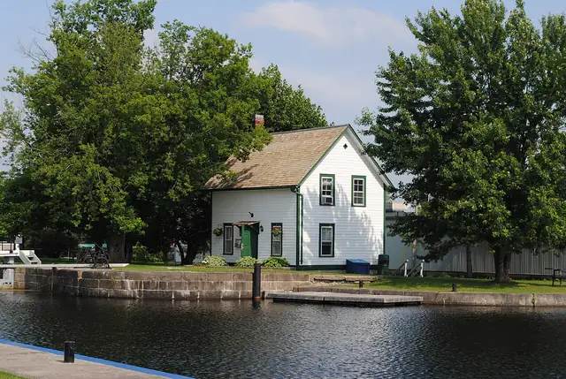
The Rideau Trail was proposed in February 1971 by Douglas Knapp at a meeting of the Kingston Field Naturalists, and a group from Ottawa soon joined the project. It took its name from the Rideau Canal, completed in 1832 to link the two cities, and the official opening took place in November 1971 at Foley Mountain Conservation Area north of Westport.
From Confederation Park in front of Kingston City Hall the trail heads north through farmland and onto the rugged Canadian Shield, and it ends at the foot of the Rideau Canal's Ottawa Locks on the Ottawa River, within sight of Parliament Hill. Red-orange triangles mark the main trail towards Ottawa, triangles with yellow tips mark the way towards Kingston, and blue triangles show side trails and loops.
The Rideau Trail Association describes a main trail of about 325 km within a network of more than 450 km, and explains that it owns none of the land the path crosses, relying on the permission of private and public landowners. Its Kingston, Central and Ottawa clubs run outings all year, including snowshoeing and cross-country skiing in winter.
No source gives the days on foot, so they are worked out from the length at 20–25 km a day.