Pamir Trail
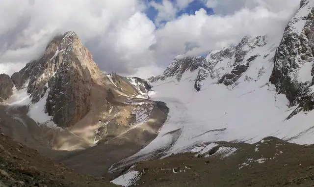
A 1,313 km trail across the mountains of Tajikistan in nine sections and 79 stages, from Shing in the Fann Mountains through the Hisor and Zarafshon ranges, Rasht and Darvoz to Vrang in the far south-east.
At a glance
- Starts in
- Shing
- Ends in
- Vrang
- Length
- 1,313 km
- On foot
- ≈ 53–66 days
- Countries
 Tajikistan
About the trail
The Pamir Trail was conceived by Jan Bakker, co-author of a trekking guidebook to Tajikistan, who realised that most of the country's trekking routes were connected and could be joined into one long path. The first full version was set out in 2024, running from Shing in the Fann Mountains to Vrang in the far south-east of the country, near the border with Afghanistan.
Its nine sections cross the Fann Mountains, the Hisor range, the Yaghnob and Zarafshon valleys, Qarotegin and Rasht, Darvoz, Vanj and Yazghulom, Rushon and finally Shughnon and the Shakhdara valley, with a high and a low option between Rasht and Darvoz. A separate extension leads into the Afghan Pamirs, and the project aims to bring income to mountain communities through guiding, pack animals, cooking and hosting trekkers.
The volunteer team behind the trail gives the main route as 1,313 km long, with 61,056 m of ascent over 79 stages, and runs the project without outside funding. It advises walking stages 51B to 55B no earlier than the last week of September.
No source gives the days on foot, so they are worked out from the length at 20–25 km a day.