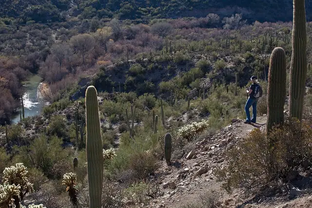
Photo: BLMArizona, Public domain 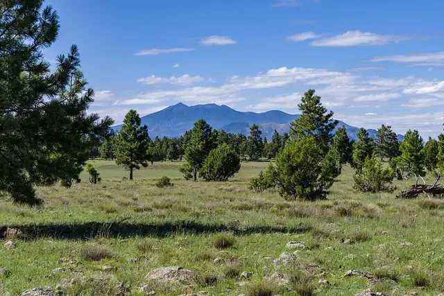
Photo: Coconino National Forest, CC0
Arizona Trail
Arizona National Scenic Trail
An 800-mile trail the length of Arizona, from the Mexican border in the Huachuca Mountains to the Utah line, crossing the Grand Canyon on the way.
At a glance
- Starts in
- Mexican border, Coronado National Memorial
- Ends in
- Utah border
- Length
- 1,287 km
- On foot
- ≈ 51–64 days
- Countries
 United States
About the trail
The Arizona Trail crosses the state from south to north, from the Mexican border in Coronado National Memorial to the Utah state line. It links the sky islands of southern Arizona, forested mountain ranges rising out of the desert, with the Mogollon Rim, the ponderosa pine country around Flagstaff and the Kaibab Plateau.
Its best-known passage crosses the Grand Canyon, descending from the South Rim to the Colorado River and climbing out by the North Kaibab Trail to the North Rim. The trail grew from the idea of a Flagstaff teacher, Dale Shewalter, in the 1980s, was designated a National Scenic Trail in 2009 and was completed in 2011.
The Arizona Trail Association describes some 800 miles open to hikers and mountain bikers, with the southern terminus at Border Monument 102. For autumn 2026 it warns that the North Kaibab Trail is closed after flood damage in August, so thru-hikers need a shuttle from the North Rim to the South Rim, and a waterline project closes part of it from 15 October 2026 until about February 2027.
No source gives the days on foot, so they are worked out from the length at 20–25 km a day.