Transcaucasian Trail: Armenia
Տրանսկովկասյան արահետ
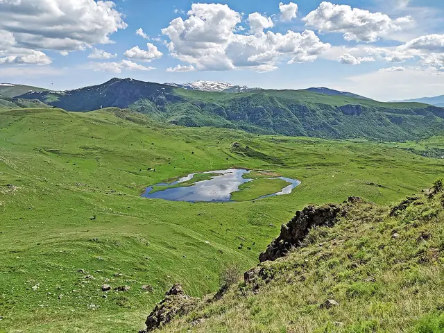
The Armenian section of the Transcaucasian Trail, a border-to-border route from Lake Arpi in the north-west to Meghri on the Iranian border.
At a glance
- Starts in
- Lake Arpi National Park, northern border
- Ends in
- Meghri
- Length
- 819 km
- On foot
- ≈ 33–41 days
- Countries
 Armenia
About the trail
The Transcaucasian Trail Association set out to build a long-distance trail across the Caucasus, and Armenia was the first country to get a complete national section. The route runs the length of the country, from the high plateau around Lake Arpi in the north-west to Meghri in the far south.
It crosses six regions in turn: the open uplands of Shirak, the gorges of Lori, the forested hills of Tavush and Dilijan National Park, the volcanic Gegham range, the dry canyons of Vayots Dzor and the steep, wooded mountains of Syunik under Mount Khustup. Many stretches follow old shepherds' and village paths rather than purpose-built trail.
The association gives 819 km between the northern and southern borders. Snowfields can linger in the Gegham Mountains, some paths in Vayots Dzor and Syunik are overgrown, and the planned Arevik National Park section is still a hard bushwhack; Dilijan, Yeghegnadzor, Sisian and Kapan are the main resupply towns.
No source gives the days on foot, so they are worked out from the length at 20–25 km a day.