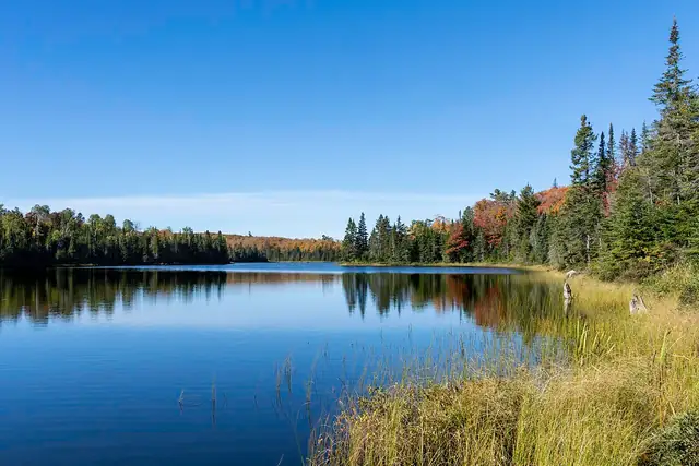
Superior Hiking Trail
A footpath of about 300 miles along the ridges above Lake Superior's North Shore in Minnesota, from Duluth to the 270 Degree Overlook near the Canadian border.
At a glance
- Starts in
- Northern terminus, 270 Degree Overlook
- Ends in
- Southern terminus, Duluth
- Length
- 483 km
- On foot
- ≈ 19–24 days
- Countries
 United States
About the trail
The Superior Hiking Trail follows the North Shore of Lake Superior in north-eastern Minnesota, from the city of Duluth to the 270 Degree Overlook near Grand Portage and the Canadian border. For much of its length it keeps to the ridges above the lake, crossing rivers that drop to the shore through gorges and waterfalls.
The Superior Hiking Trail Association has looked after the route for almost 40 years. Roughly half of it, about 150 miles, runs through the Superior National Forest.
The association describes more than 300 miles of trail along the North Shore, and the US Forest Service gives a 300-mile route from Duluth to the northern terminus, with 13 campsites on the stretch it manages.
No source gives the days on foot, so they are worked out from the length at 20–25 km a day.