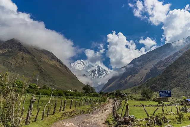
Salkantay Trek
Camino del Salkantay
A high mountain route to Machu Picchu that crosses a pass below the glaciers of Salkantay before dropping into the cloud forest.
At a glance
- Starts in
- Mollepata
- Ends in
- Machu Picchu Pueblo (Aguas Calientes)
- Length
- 74 km
- On foot
- 5 days
- Countries
 Peru
About the trail
The Salkantay route is one of the most popular alternatives to the classic Inca Trail for walkers heading to Machu Picchu. It is named after Salkantay, the highest peak of the Cordillera Vilcabamba, whose ice faces dominate the first days of the walk.
From Mollepata, in the province of Anta, the trail climbs through farmland and high pasture to a pass beneath the glaciers, then descends into a very different world of cloud forest, coffee farms and warm river valleys around Santa Teresa. The last stage follows the Urubamba valley to Machu Picchu Pueblo, at the foot of the citadel.
PromPerú gives five days from the district of Mollepata to Machu Picchu, without stating a distance. Unlike the classic Inca Trail, the route does not use the permit quota system, but entry to Machu Picchu itself must be booked separately.
Trails it meets
Nearby trails
Length measured on the OpenStreetMap line; no official figure checked yet.