Ouachita Trail
Ouachita National Recreation Trail
A 223-mile backcountry trail along the east-west ridges of the Ouachita Mountains, from Talimena State Park in Oklahoma to Pinnacle Mountain near Little Rock.
At a glance
- Starts in
- Talimena State Park, Oklahoma
- Ends in
- Pinnacle Mountain State Park, Arkansas
- Length
- 359 km
- On foot
- ≈ 14–18 days
- Countries
 United States
About the trail
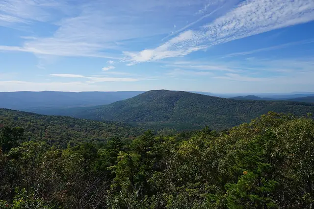
The Ouachita Mountains are unusual in North America for running east to west, and the Ouachita Trail follows their ridges across eastern Oklahoma and western Arkansas, mostly within the Ouachita National Forest. It runs from Talimena State Park in Oklahoma to Pinnacle Mountain State Park, west of Little Rock, and was designated a National Recreation Trail in 1978.
Its highest point is Rich Mountain at 2,610 feet and its lowest about 300 feet near Lake Maumelle, and climbs of 1,000 to 1,500 feet are common on rugged terrain that also crosses two designated wilderness areas.
The National Recreation Trails database gives 223 miles, about 177 in Arkansas and 46 in Oklahoma, with mountain bikes allowed on about 140 miles of the western part. Twenty-one shelters stand along the way: nine older ones built by the Forest Service in the east and twelve newer ones built by volunteers of the Friends of the Ouachita Trail in the west.
No source gives the days on foot, so they are worked out from the length at 20–25 km a day.