Northville-Placid Trail
A 138-mile trail through the lakes, forests and wilderness areas of the Adirondacks, laid out in 1922 to join Lake Placid and Northville.
At a glance
- Starts in
- Averyville Road trailhead, Lake Placid
- Ends in
- Northville
- Length
- 222 km
- On foot
- ≈ 9–11 days
- Countries
 United States
About the trail
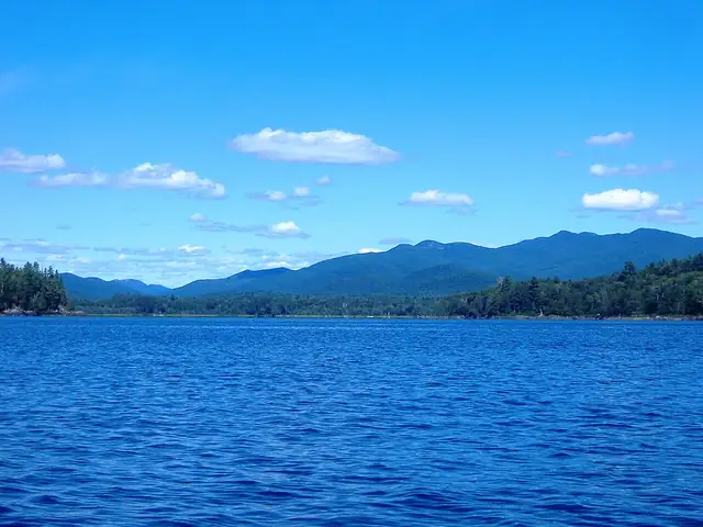
The Adirondack Mountain Club created the Northville-Placid Trail in 1922 to link the railway stations at Lake Placid and Northville, running through the heart of the Adirondack Park in upstate New York. Rather than climbing the high summits, its line threads between lakes, ponds and rivers in deep forest.
From a Department of Environmental Conservation sign on Averyville Road near the Chubb River, the trail crosses the High Peaks, Blue Ridge, West Canada Lake and Silver Lake wilderness areas, with first-come, first-served lean-tos and primitive campsites along the way, and reaches a high point of 3,008 feet.
The Lake Placid tourism office gives 138 miles, or 222 km, with about 17,000 feet of climbing in total. The whole trail is rarely attempted in winter, although parts can be done on snowshoes or skis, which are required in the High Peaks Wilderness when the snow is more than eight inches deep.
No source gives the days on foot, so they are worked out from the length at 20–25 km a day.