
Larapinta Trail
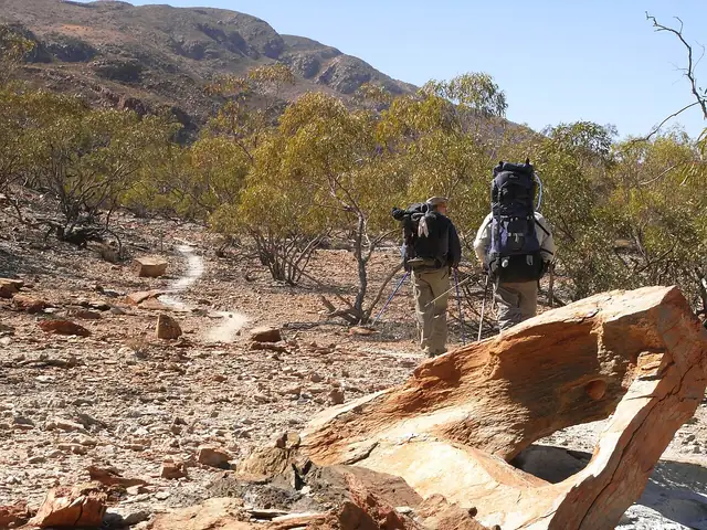
A desert trail in the West MacDonnell Ranges of central Australia, from Alice Springs Telegraph Station to the summit of Mount Sonder, in twelve sections.
At a glance
- Starts in
- Alice Springs Telegraph Station
- Ends in
- Mount Sonder
- Length
- 230 km
- On foot
- ≈ 9–12 days
- Countries
- Australia
About the trail
Larapinta follows the ridges of the West MacDonnell Ranges through gorges and waterholes such as Simpsons Gap, Standley Chasm and Ormiston Gorge, on the country of the Western Arrernte people. The ridges are stony and steep in places, and the views open onto red ranges and spinifex plains. Many walkers finish by climbing Mount Sonder in the dark to watch the sunrise.
It is divided into 12 sections of one to two days each. Summer heat is dangerous, so the trail is walked from about April to September, and walkers rely on water tanks at the section trailheads.
No source gives the days on foot, so they are worked out from the length at 20–25 km a day.