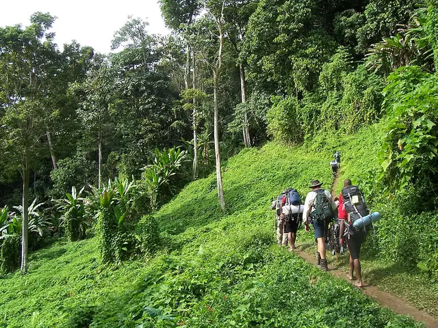
Photo: Luke Brindley, CC BY-SA 4.0 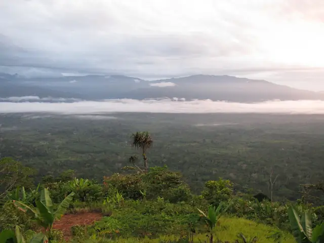
Photo: Arthur Chapman, CC BY 2.0
Kokoda Track
The 96 km wartime track across the Owen Stanley Range of Papua New Guinea, from Owers' Corner near Port Moresby to Kokoda.
At a glance
- Starts in
- Owers' Corner
- Ends in
- Kokoda
- Length
- 96 km
- On foot
- ≈ 4–5 days
- Countries
 Papua New Guinea
About the trail
The Kokoda Track crosses the Owen Stanley Range, the mountain spine of eastern New Guinea, between the foothills near Port Moresby and the village of Kokoda on the northern side. In 1942 it was the scene of a long campaign in which Australian and Papua New Guinean troops first held and then drove back the Japanese advance on Port Moresby, and many people still walk it as an act of remembrance.
The path climbs and drops steeply through rainforest and across rivers, linking villages whose people live along the track and whose land it crosses.
The Kokoda Track Authority, a Papua New Guinea special purpose authority, manages the 96 km route for trekkers. It requires a trek permit for everyone, whether walking independently or with a tour, licenses the commercial operators along the corridor, and warns that conditions are hot and humid all year round.
No source gives the days on foot, so they are worked out from the length at 20–25 km a day.