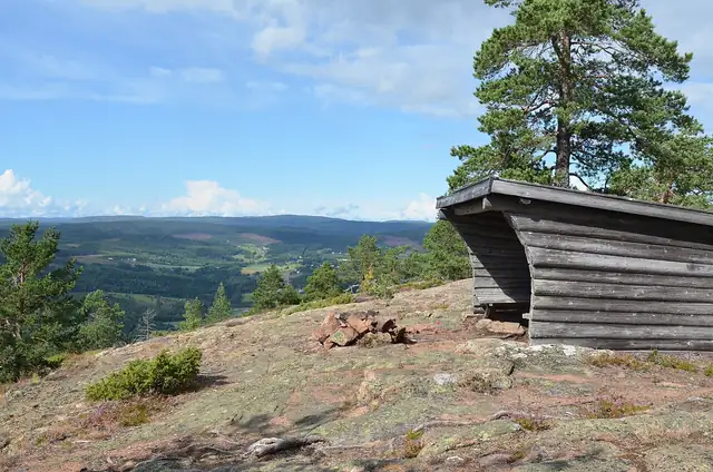
Photo: Jan Ainali, CC BY-SA 4.0 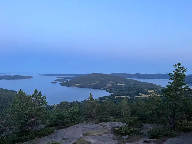
Photo: Waysi41, CC BY-SA 4.0
High Coast Trail
Höga Kusten-leden
- UNESCO World Heritage
A 128.6 km coastal walk through Sweden's High Coast World Heritage Site, from the High Coast Bridge over Skuleberget to Örnsköldsvik.
At a glance
- Starts in
- Hornöberget, High Coast Bridge
- Ends in
- Örnsköldsvik
- Length
- 129 km
- On foot
- ≈ 5–6 days
- Countries
 Sweden
About the trail
The High Coast of Sweden is still rising out of the Gulf of Bothnia, by about 8 mm a year, as the land recovers from the weight of the last ice sheet. The world's highest known shoreline, 286 m above today's sea level, is found on Skuleberget, and the area was named a UNESCO natural World Heritage Site at the turn of the millennium.
The trail starts at Hornöberget at the northern end of the 1,867 m High Coast Bridge and runs north through forest, fishing villages and bays to Skuleberget, 295 m high. It then crosses Skuleskogen National Park, where the Slåttdalsskrevan gorge is about 210 m long, 7 m wide and 40 m deep, and ends in the town park of Örnsköldsvik.
The High Coast tourism organisation divides the route into 13 stages of 4.7 to 15 km and says each has at least one place to sleep under a roof, including free, unlocked huts that cannot be booked. Some services, such as the tourist centre at Hornöberget, open only from late May to September.
No source gives the days on foot, so they are worked out from the length at 20–25 km a day.