Photo: Diliff, CC BY-SA 3.0 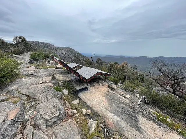
Photo: Joshthefishy, CC BY-SA 4.0
Grampians Peaks Trail
A 164 km, 13-day walk along the length of the Gariwerd/Grampians ranges in western Victoria, from Mount Zero in the north to Dunkeld in the south.
At a glance
- Starts in
- Mount Zero
- Ends in
- Dunkeld
- Length
- 164 km
- On foot
- 13 days
- Countries
 Australia
About the trail
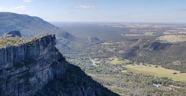
Gariwerd, the Grampians, is a series of sandstone ranges rising from the plains of western Victoria, and an Aboriginal cultural landscape cared for by its Traditional Owners. The Grampians Peaks Trail runs the length of the national park from Mount Zero, near Dadswells Bridge, to the town of Dunkeld.
It follows rocky ridgelines and bush from summit to summit, over Gar (Mount Difficult), Mount William, Signal Peak, Mount Abrupt and Mount Sturgeon, and stays at hike-in campgrounds such as Strachans, Buandik and Boreang or at hiker huts on the northern peaks.
Parks Victoria describes a 164 km walk of 13 days and 12 nights, with shorter options of one to three days, and requires campgrounds to be booked. Bushfires in 2024 and 2025 burnt more than 135,000 hectares and some tracks remain closed, and Strachans campground is shut for upgrades from 13 April to 29 October 2026.