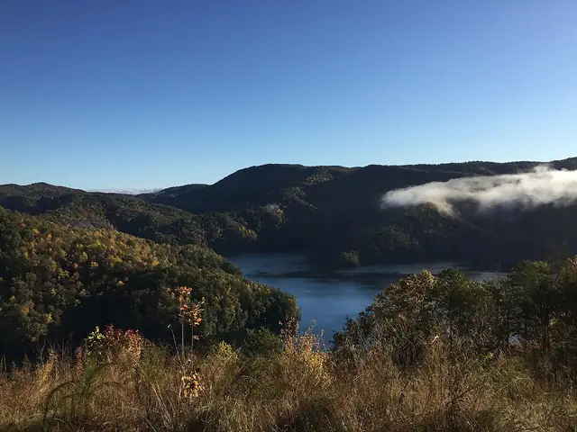
Foothills Trail
A 77-mile trail along the Blue Ridge Escarpment of South Carolina and North Carolina, from Oconee State Park to Table Rock State Park.
At a glance
- Starts in
- Oconee State Park, South Carolina
- Ends in
- Table Rock State Park, South Carolina
- Length
- 124 km
- On foot
- ≈ 5–6 days
- Countries
 United States
About the trail
The Foothills Trail follows the Blue Ridge Escarpment, where the southern Appalachians fall away to the Piedmont, along the border between South Carolina and North Carolina. From Oconee State Park in the west it heads north and east through steep, forested gorges to Table Rock State Park.
Along the way it crosses rivers such as the Chattooga and the Toxaway, the latter on a long footbridge, passes Whitewater Falls and the gorges around Lake Jocassee, and climbs over Sassafras Mountain, the highest point in South Carolina.
Oconee County's tourism office describes the 77-mile trail as maintained by the Foothills Trail Conservancy, with sections suited to day hikes and a full traverse on which thru-hikers can spend a week in the backcountry.
Nearby trails
No source gives the days on foot, so they are worked out from the length at 20–25 km a day.