Photo: Kunal2989, CC BY-SA 4.0 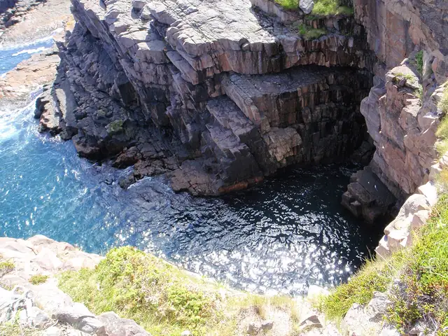
Photo: BihnX, CC BY-SA 3.0
East Coast Trail
A 336 km network of coastal paths on Newfoundland's Avalon Peninsula, from Topsail Beach to Cappahayden past cliffs, sea stacks and fishing communities.
At a glance
- Starts in
- Topsail Beach
- Ends in
- Cappahayden
- Length
- 336 km
- On foot
- ≈ 13–17 days
- Countries
 Canada
About the trail
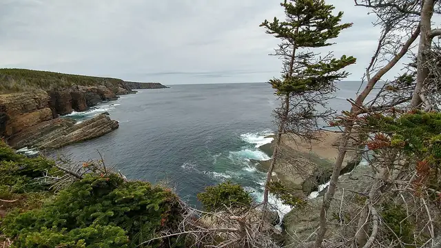
The Avalon Peninsula is the easternmost part of Newfoundland, and the East Coast Trail follows its rugged Atlantic shore past headlands, sea stacks and deep fjords. Along the way it links old fishing communities, lighthouses and abandoned settlements, and passes the Spout, a wave-driven geyser.
Seabird colonies, whales and icebergs can be seen from the cliffs in season, and inland the trail crosses the range of the world's southernmost caribou herd. It also takes in ecological reserves, a 50 m suspension bridge and two active archaeological dig sites.
The East Coast Trail Association gives 336 km in 25 paths, made up of 270 km of coastal wilderness path and 66 km of community walks between Topsail Beach and Cappahayden. No path clearing or condition updates take place from November to April.
No source gives the days on foot, so they are worked out from the length at 20–25 km a day.