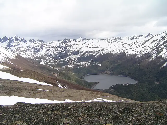
Dientes de Navarino Circuit
Circuito Dientes de Navarino
A rugged four to five day trek through the Dientes de Navarino range on Isla Navarino, starting just outside Puerto Williams and crossing high passes by Laguna del Salto and Laguna de los Dientes.
At a glance
- Starts in
- Río Róbalo bridge, Puerto Williams
- Ends in
- Bahía Virginia
- Length
- 35 km
- On foot
- 4–5 days
- Countries
 Chile
About the trail
Isla Navarino lies south of the Beagle Channel in the far south of Chile, and the jagged peaks of the Dientes de Navarino, the teeth of Navarino, rise just behind the small town of Puerto Williams. The trek loops through this range on high, exposed ground, passing lakes such as Laguna del Salto and Laguna de los Dientes and crossing the steep Paso Virginia.
Chile's official tourism site calls it one of the most challenging treks in South America and gives four to five days for the crossing. The trail starts only 2 km from the town, across the bridge over the Río Róbalo.
Length measured on the OpenStreetMap line; no official figure checked yet.