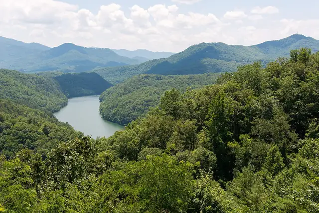
Photo: Washuotaku, CC BY-SA 4.0 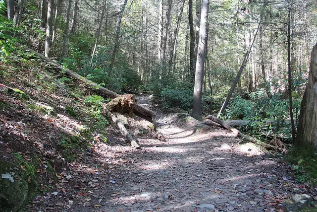
Photo: Thomson200, CC0
Benton MacKaye Trail
A trail of almost 300 miles through the southern Appalachians, from Springer Mountain in Georgia to Davenport Gap in the Great Smoky Mountains.
At a glance
- Starts in
- Springer Mountain, Georgia
- Ends in
- Davenport Gap
- Length
- 463 km
- On foot
- ≈ 19–23 days
- Countries
 United States
About the trail
The trail is named after Benton MacKaye, the forester and planner who first proposed the Appalachian Trail in 1921. It starts on Springer Mountain in Georgia, also the southern end of the Appalachian Trail, and takes a more westerly line through the mountains of Georgia, Tennessee and North Carolina before ending at Davenport Gap on the edge of the Great Smoky Mountains.
About a third of the route lies in designated wilderness, where vehicles and motorised tools are banned, and it includes a long passage through the backcountry of Great Smoky Mountains National Park.
The Benton MacKaye Trail Association, formed in 1980 to build and look after the trail, describes a route of almost 300 miles, 81.8 miles of it in Georgia and 205.8 miles in Tennessee and North Carolina.
Trails it meets
No source gives the days on foot, so they are worked out from the length at 20–25 km a day.