Photo: sergejf, CC BY 2.0 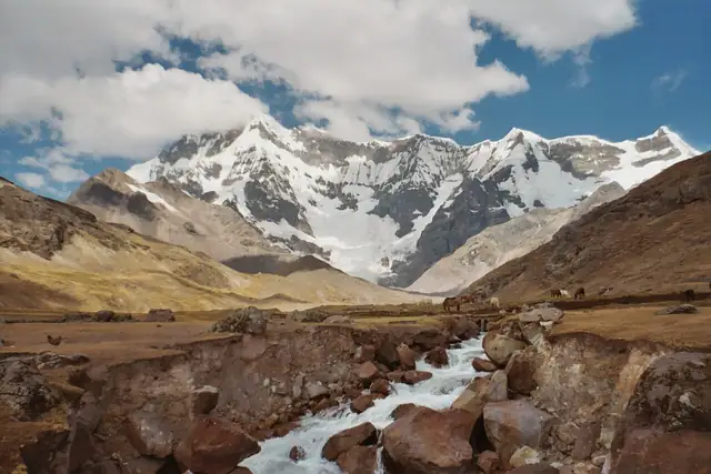
Photo: Ollyfant at nl.wikipedia, CC BY-SA 3.0
Ausangate Circuit
Circuito del Ausangate
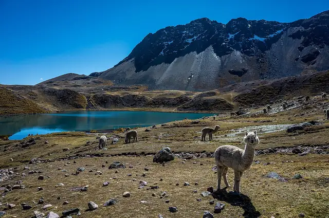
A high-altitude trek around Ausangate, the 6,372 m snow peak south-east of Cusco, starting in Ocongate district and taking up to six days past alpaca herds and glacial lakes.
At a glance
- Loop from and back to
- Tinki
- Length
- 63 km
- On foot
- ≈ 3 days
- Countries
 Peru
About the trail
Ausangate rises to 6,372 m in the Cordillera Vilcanota south-east of Cusco, and its glaciers feed lakes scattered across the high grassland around the mountain. The trek circles the massif through pastures grazed by alpacas and can take in lakes such as Sibinacocha, known for its blue-green water.
Peru's official tourism site suggests starting in Ocongate, a district of Quispicanchi province, and says the trip can stretch to six days depending on the stops made along the way. The official description assumes nights spent camping on the route.
Length measured on the OpenStreetMap line; no official figure checked yet.
No source gives the days on foot, so they are worked out from the length at 20–25 km a day.